Trying to choose between north and south Walton County land? The right answer usually has less to do with a simple map pin and more to do with what you want the land to do for you. If you are weighing privacy, acreage, build potential, coastal access, or long-term flexibility, understanding how Walton County plans and regulates land can save you time and costly surprises. Let’s break it down.
Why north vs. south matters
In Walton County, “north” and “south” are not just casual location labels. The county separates unincorporated land into North Walton, North Central Walton, South Central Walton, and South Walton planning areas, and those planning areas tie directly to future land use and zoning rules.
That matters because planning area can affect density, permitted uses, and the review process for future development. In other words, the same size parcel can offer very different possibilities depending on where it sits.
North Walton land at a glance
North and inland areas are where Walton County places many of its rural and agriculture-oriented districts. These include Large Scale Agriculture, General Agriculture, Estate Residential, and Rural Low Density.
For many buyers, that makes north Walton the stronger fit if you want more space, a lower-intensity setting, or land that aligns better with rural or agricultural use. It is often the side of the county where acreage is easier to justify under the code.
What zoning often supports in the north
The county’s zoning framework gives a helpful picture of what north and inland land is designed for. Large Scale Agriculture allows 1 dwelling unit per 40 acres, General Agriculture allows 1 dwelling unit per 2.5 acres, Estate Residential allows 1 dwelling unit per 5 acres, and Rural Low Density is built around roughly one-acre lots.
Those numbers do not tell you everything about a parcel, but they do show the overall pattern. North Walton generally trends toward larger tracts, more separation between uses, and lower development intensity.
What buyers often like about north parcels
If your goal is privacy, elbow room, or a longer-term hold on acreage, north Walton can be appealing. It may also fit buyers who want land for a custom home on a larger tract or a property that feels less tied to coastal design constraints.
North and inland areas are also more corridor-oriented than beach-oriented. County planning materials point to growth around routes like US 331 and SR 20 East, where roadway improvements, bridge upgrades, and possible sewer expansion may support future demand.
South Walton land at a glance
South Walton is where the county places many of its coastal and planned-growth districts. These include Coastal Village, Village Mixed Use Center, Town Center One, and Resort.
That planning framework gives south Walton a different feel from inland acreage. Instead of focusing on large rural tracts, south Walton is more closely tied to compact development, planned communities, mixed-use settings, and coastal access.
What zoning often supports in the south
South-oriented districts allow more compact development in the right context. For example, LDR 1/0.5 allows 1 dwelling unit per half-acre, LDR 4/1 allows up to 4 units per acre with central water and sewer, Coastal Village allows 1 dwelling unit per acre, and Village Mixed Use Center is designed as small-scale mixed use serving nearby neighborhoods.
Town Center One is also planned as a new traditional town in South Walton. That is very different from the rural acreage pattern more common in the north.
What buyers often like about south parcels
If you want land tied to beach access, coastal amenities, or a planned neighborhood setting, south Walton is often the better fit. The county highlights 26 miles of coastline, 15 named coastal dune lakes, more than 60 beach, lake, and bay accesses, and over 26 miles of multi-use trail.
That amenity base is a major part of the value equation in the south. For some buyers, being closer to those access points matters more than having a larger tract.
Key differences in development intensity
One of the clearest ways to compare north and south Walton County land is by development intensity. North and inland districts generally lean toward larger parcel patterns and lower density, while south and coastal districts more often support compact, planned development.
There is some overlap. For example, LDR 1/0.5 and LDR 4/1 can appear in all planning areas, so this is not a strict either-or rule.
Still, the broader pattern is useful. If you are shopping for acreage, privacy, and rural context, north Walton usually lines up better. If you are shopping for smaller lots, mixed-use surroundings, or coastal adjacency, south Walton usually makes more sense.
Utilities can change the answer fast
Utility access is one of the biggest deal-breakers in any land purchase. In Walton County, it is especially important because several rural districts are not generally served by central water and sewer.
Large Scale Agriculture and General Agriculture are described as rural areas that are not generally served by central water and sewer. Rural Low Density was also designed in part to avoid further subdivision that could worsen septic-related water quality impacts.
Why utilities matter more than many buyers expect
A parcel can look perfect on paper and still become difficult or expensive if utility service does not match your plans. If you are thinking about building, splitting land, or increasing intensity, utility availability can shape what is realistic.
In coastal areas, sewer can become even more important. Walton County’s coastal management rules require central sewer connection for new development in coastal dune lake watersheds and on lots adjacent to dune lakes when septic systems are modified or replaced.
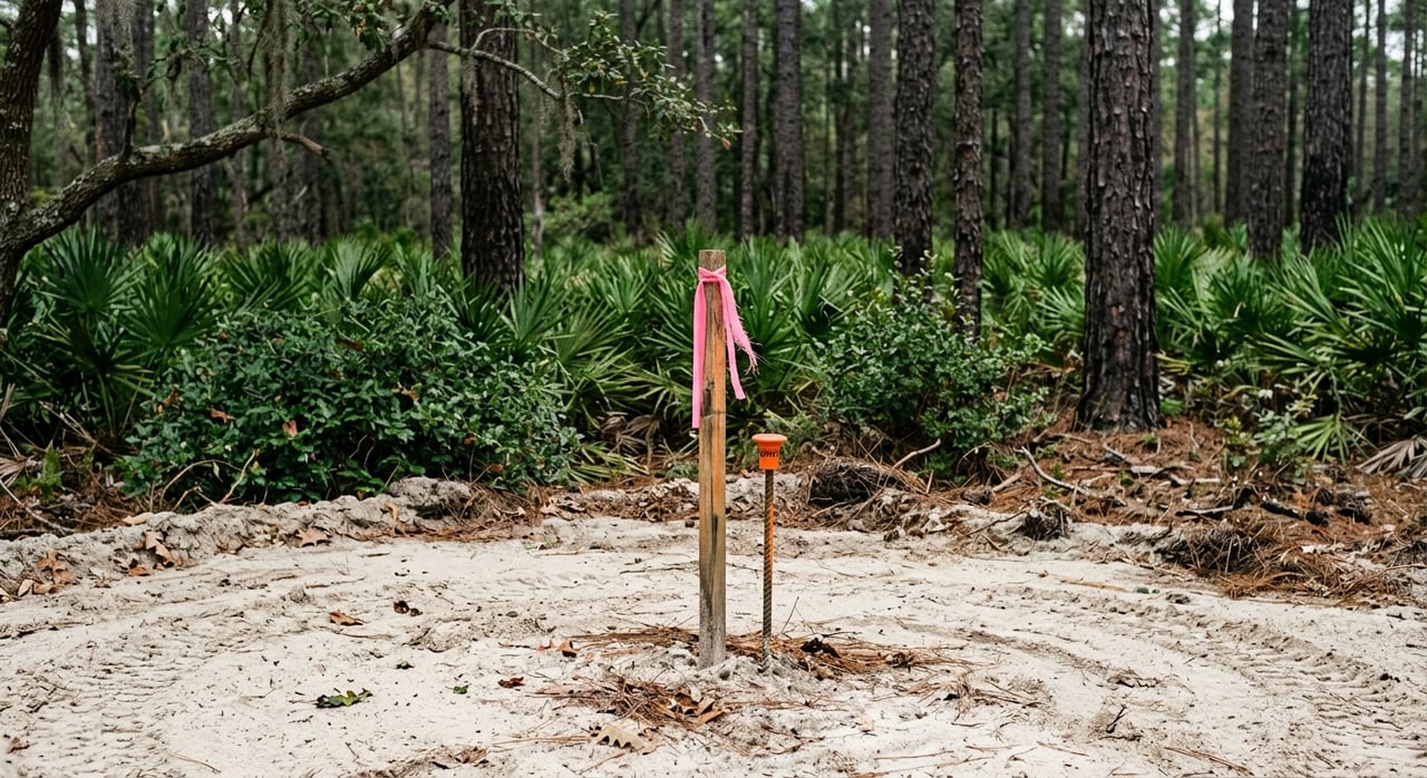
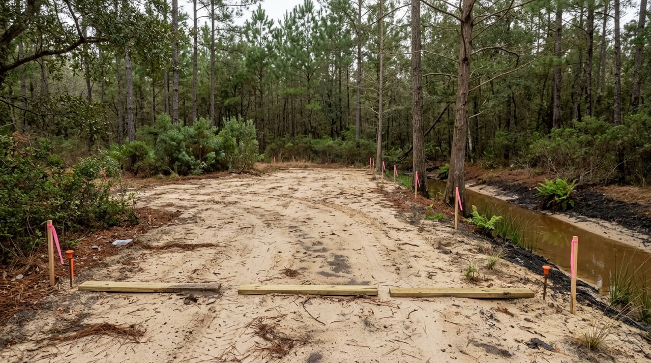
Land clearing and environmental review differ too
Another major difference between north and south Walton County land is the level of clearing and buffer sensitivity. South Walton parcels often face more constraints tied to coastal resources and protected areas.
According to the county’s FAQ guidance, south of Choctawhatchee Bay, a building permit or development order is needed before land clearing. The county also notes protected areas such as coastal dune lake protection zones, a 25-foot wetland buffer, and a 50-foot buffer from the mean high water line of the bay and its basins, bayous, or tributaries.
North of the bay is not permit-free
North of the bay, land clearing still requires a land-clearing permit. The process is just different from the south.
That distinction is important if you are comparing two parcels and assuming the prep work will be similar. It may not be, especially if one tract is in a more environmentally sensitive coastal setting.
Scenic corridor review can affect south parcels
Some South Walton sites also face another layer of review through scenic corridor rules. Walton County states that the U.S. 98/331 Scenic Corridor extends 400 feet on either side of the US 98 right-of-way, and projects other than single-family residential subdivisions generally require Design Review Board approval.
The C.R. 30A corridor includes parcels adjacent to 30A as well as CR 83, 393, 283, and 395. If you are considering land in those areas, review requirements may be more involved than they would be on a rural tract farther north.
Floodplain and map review should be part of every search
No matter where you buy in Walton County, floodplain screening belongs on your checklist. It becomes even more important as you move closer to the coast, wetlands, bay systems, or dune lake areas.
Walton County participates in FEMA’s Community Rating System and holds a Class 6 rating. The county also notes that the South Walton County Flood Insurance Rate Map became effective on December 30, 2020.
Use map layers before you fall in love
The county’s map portal includes layers for parcels, future land use, wetlands, flood zones, beach mouse tiers, and elevation contours. That kind of map review can help you spot issues early, before you spend time or money moving too far down the road.
For buyers looking at vacant land, this is where specialized guidance can make a real difference. A parcel’s shape, frontage, utility context, overlays, and environmental constraints all work together.
So, which side fits your goals?
If you want acreage, rural context, farm-compatible uses, lower intensity, or fewer corridor overlays, north Walton will often be the better match. It tends to offer the kind of land profile that supports privacy and larger tract ownership.
If you want beach or dune-lake access, planned neighborhoods, mixed-use settings, or land that benefits from coastal adjacency, south Walton will often be the stronger fit. It usually comes with more access to coastal amenities, but also more design, utility, and environmental considerations.
The best choice depends on your end goal. Are you buying to build now, hold for later, pursue a specific land use, or stay close to the coast? Once you answer that, the north-versus-south decision usually becomes much clearer.
If you want help narrowing down parcels, reviewing zoning context, or spotting feasibility issues before you make an offer, Tina N Marsh can help you sort through the details and take the next step with confidence.
FAQs
What is the biggest difference between North and South Walton County land?
- North Walton generally aligns better with larger acreage, rural or agricultural uses, and lower density, while South Walton generally aligns better with coastal access, planned communities, and more compact development patterns.
Is South Walton land always smaller than North Walton land?
- Not always, but county zoning patterns show that south and coastal districts more often support smaller lots and planned-growth formats, while north and inland areas more often support larger tract development.
Does North Walton land have fewer permitting issues?
- Not necessarily fewer issues, but the issues are often different. North of the bay, land clearing still requires a permit, while south parcels may face added coastal buffers, dune lake protections, and scenic corridor review depending on location.
Why do utilities matter when buying Walton County land?
- Utility availability can directly affect what you can build or how intensively you can use the land. Several rural districts are not generally served by central water and sewer, and some coastal areas require central sewer connection under specific conditions.
Should I check flood zones before buying Walton County land?
- Yes. Floodplain screening is an important part of due diligence throughout Walton County, especially near the coast, wetlands, bay areas, and dune lake environments.
Is South Walton better if I want beach access?
- In many cases, yes. Walton County’s coastal amenities, including beach, lake, and bay accesses and multi-use trails, are concentrated in the south, which can make southern parcels more appealing for buyers focused on coastal access.